
Ortles Hintergrat ridge
The Hintergrat Ridge is a long and fascinating climb; whilst not overly demanding from a technical point of view, it should not be underestimated: the exposure is considerable and the rock, which is often crumbly, requires constant attention throughout the route. It can also be tackled by mountaineers with little experience, provided they are in excellent physical condition and have the necessary alertness for the trickiest sections.
Partecipanti
Durata
2 days
Difficoltà
Costo
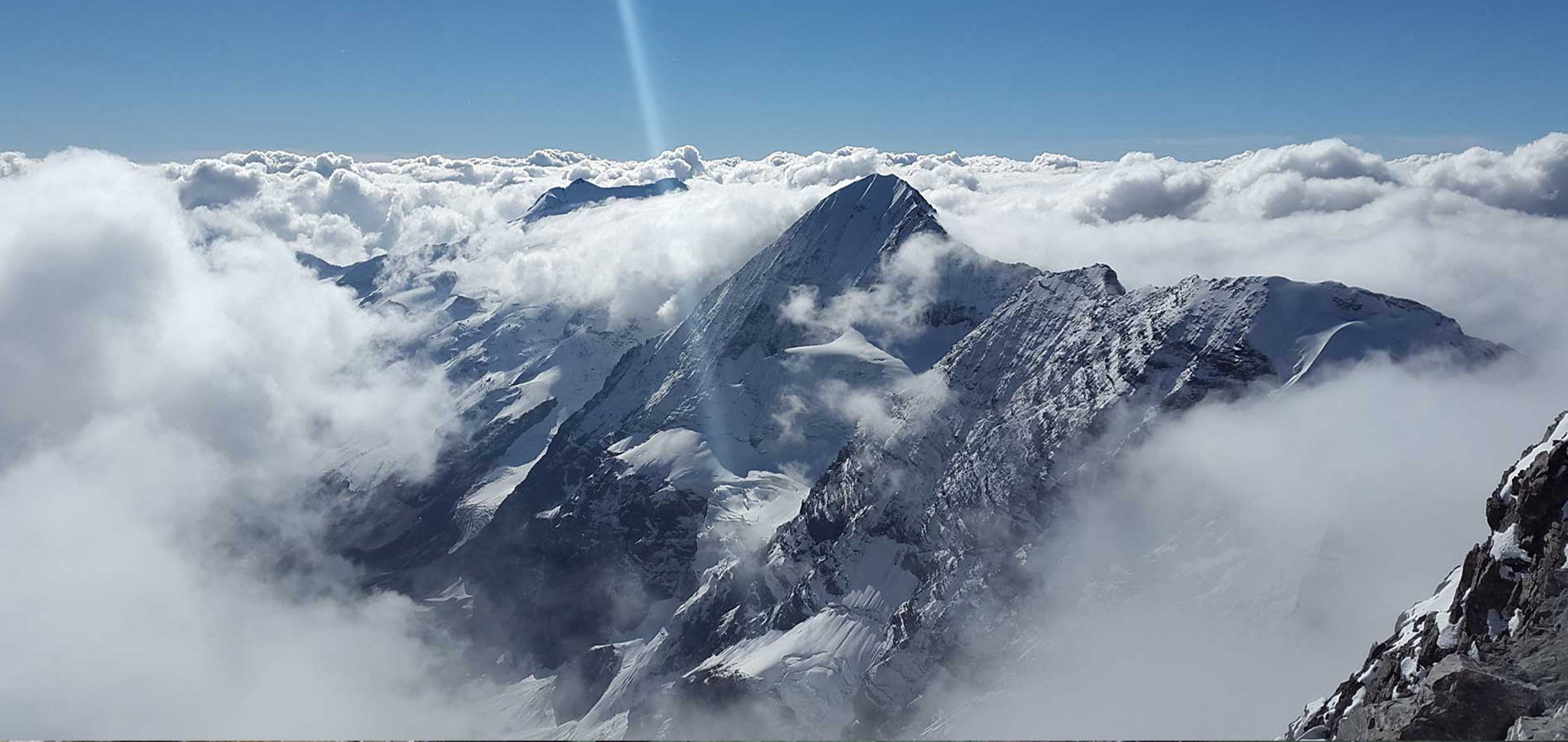
Ascent of the Hintergrat ridge
From the Coston refuge (2,661 m), the ridge appears as a succession of four peaks. The ascent begins on gentle snow-covered slopes along the left-hand side of the ridge, until it reaches the third peak; from there, crossing a wide saddle, it reaches the base of the Signalkopf (3,725 m), which is the fourth peak.
With short climbing sections up to Grade IV, featuring numerous pitons, the route ascends a series of rocky outcrops, interspersed with sharp rocky ridges, which soon lead to the summit of Ortles (3,905 m).
Day 1: On arrival in Solda, we head to the cable car car park, where we’ll leave the car. With our rucksacks on our backs, we follow trail marker no. 2 towards the Coston mountain hut, walking alongside the Rio Solda for a stretch, then climbing up a rocky section to the moraine of the Solda glacier, near the cable car’s midway station (if the cable car is operating, you can use it to save yourself some walking and the climb). Following the path up a grassy slope, we climb up to a small ridge (with excellent views of the Gran Zebrù), then turn right along a small moraine-filled valley and continue uphill to the Coston mountain hut (2,661 m).
Day 2: Leaving the refuge, you proceed along the moraine of the Solda glacier – a flat stretch – before eventually skirting the rocks descending from the Coston ridge. You climb a section of steep scree, where you must take care of debris dislodged by the rope teams ahead, to continue along the ridge to a rocky outcrop (Grade II). Alternating between sections on snow (depending on seasonal temperatures and precipitation) and easy rocky terrain, you reach the Signalkopf.
Proceeding along its left-hand side, you descend diagonally, abseiling down a piton for about twenty metres to reach a ledge that leads back to the ridge. An alternation of easy rock sections (Grades II and III), fairly steep snow slopes (up to 40°) and two key passages of Grade IV (protected by a piton) leads to the couloir and the ridge that lead to the summit.
The descent is usually via the ‘Normal’ route, towards the Pajer mountain hut. Although it is not technically difficult, it should never be underestimated, given the Grade II rock sections and the snow slopes with gradients of up to 40°.
Costi condizioni materiali
La quota comprende
- With you, a UIAGM-certified Mountain Guide: preparation, safety and technical support at every stage of the activity.
-
Harness, helmet, ice axe, crampons
- Third-party liability insurance
La quota non comprende
- Transfers, accommodation in a mountain hut and additional expenses
- Guide costs
- Cable car ticket, if required.
Materiali
- Technical clothing for high-altitude mountaineering
- Boots compatible with crampons
- Sunglasses and sun cream
- A rucksack containing drinks and energy snacks.
Prezzi
- Maximum of 2 people per guide.
- 1 participant: €650
- 2 participants: €500 per person

